
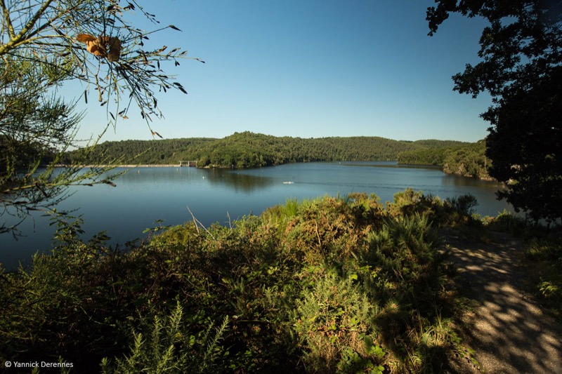
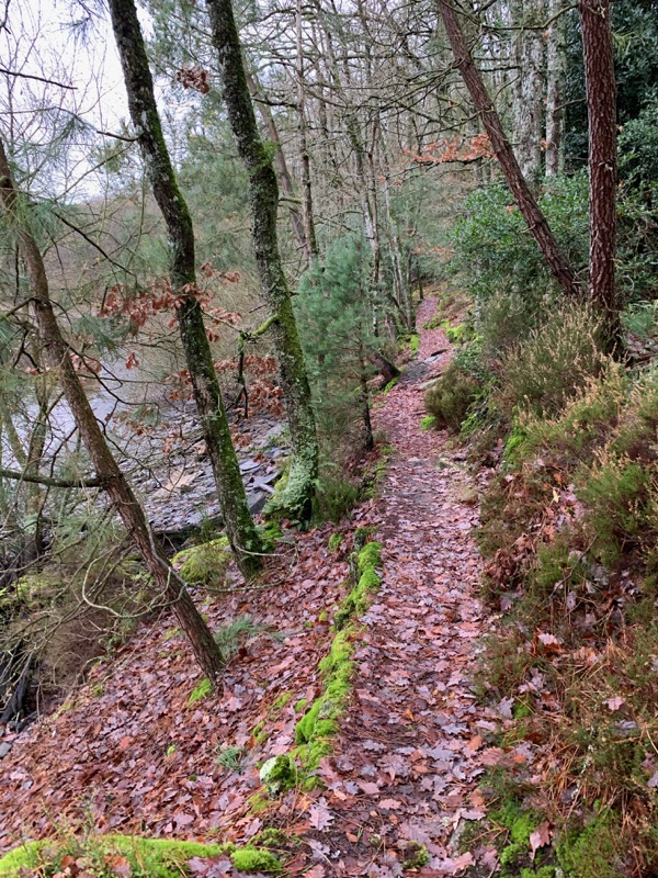
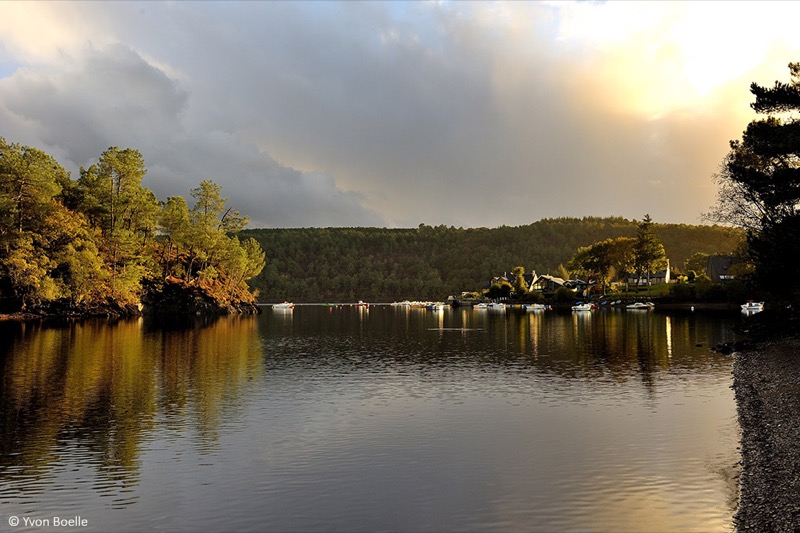
From the leisure centre, the route will take you to the entrance of the Bois de Caurel by the Anse de Landroannec and the passage of its footbridges. Arrived at the Caurel hood, you will make a loop along the lake, on technical trails, perfect for a specific trail-running training ! Arrived at Les Granges, you will come back on a large path to the Anse de Landroanec. You can then return to the leisure base by the outward path or do the loop once again !
Warning : Itinerary open from March 1st to September 30th. Closed during the hunting season.

- Distance 14.1 km
- Elevation gain 280 m
- Elevation lost 280 m
- Min. elevation 122 m
- Max. elevation. 181 m
- Duration (depending on pace) 1h20 à 2h45
- Marking Trail-running n°71 blue

Available this summer, the application Coeur de Bretagne will allow you to find all the trail running and hiking trails on your smartphone.
You will find many features in this application:
- locate yourself the route
- download data for offline access
- take advantage of detailed IGN maps
- add your chrono on the route
- find the services nearby...


the digital trails


![]()
Infos & contact
Destination Coeur de Bretagne - Kalon Breizh
6 rue Joseph Pennec
22110 Rostrenen
Tel. +33(0)2 96 29 26 53

