Route 11 blue - Tro Kerné Uhel
Add to my favorites

Caution: Due to the storms that happened in November, some tracks may be impracticable or closed. Before going out, please contact the local authorities to have more information.
Route closed
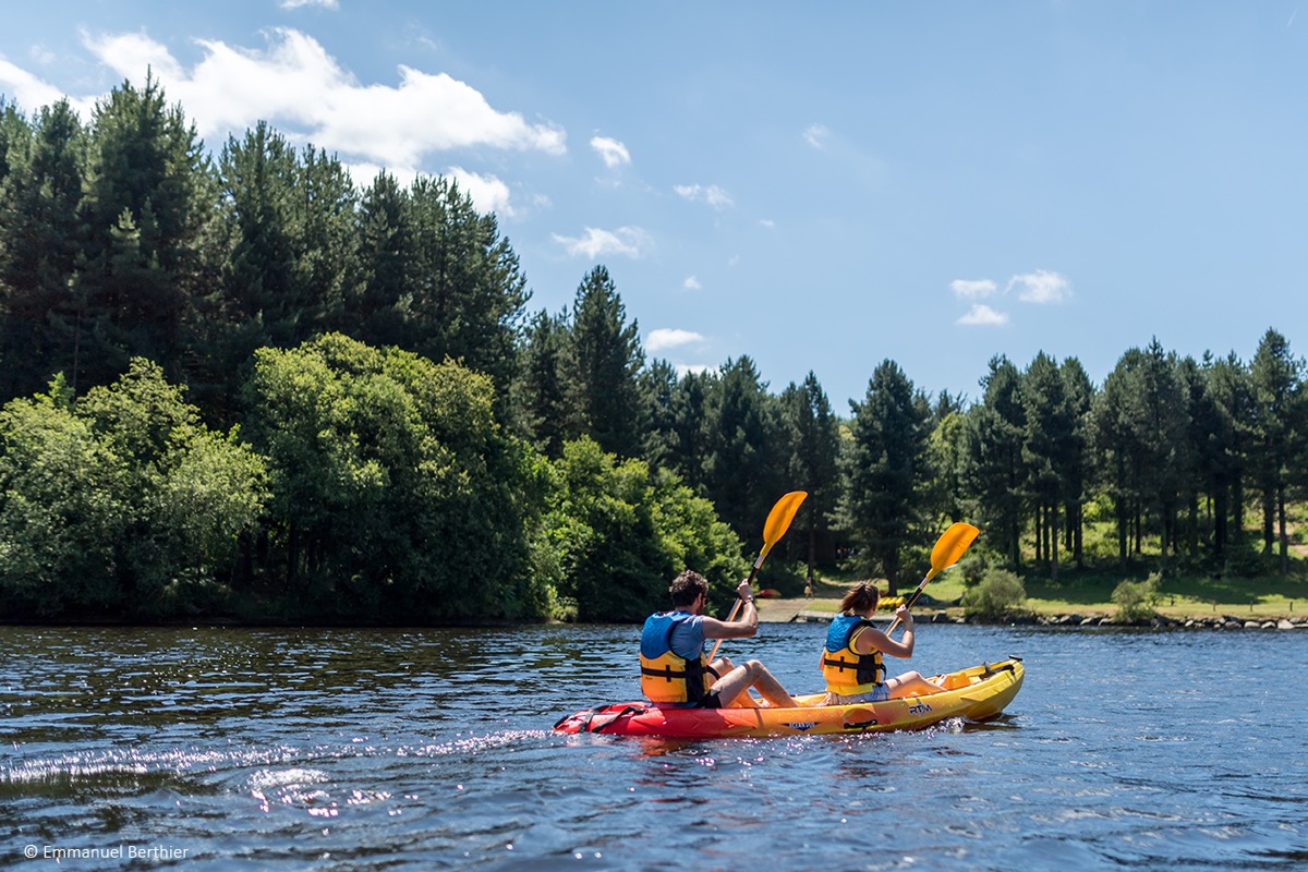
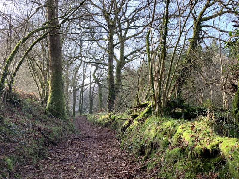
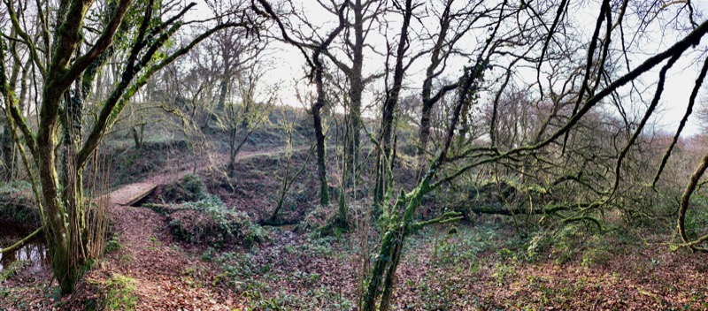
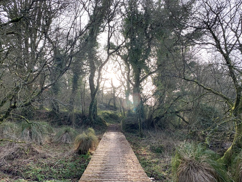
This very beautiful circuit will lead you on the paths of the pond of Kerné Huel. You will follow single tracks in forest around the lake, on a rhythmic profile. A more or less technical terrain perfect for a nice trail trip !
Warning : In order to limit the impact of the marking signs, this route is not specifically marked out trail. Follow the hiking marking signs "Tro Kerne Uhel".
The characteristics of the route.

Trémargat (22)
- Distance 13.6 km
- Elevation gain 220 m
- Elevation lost 220 m
- Min. elevation 214 m
- Max. elevation. 259 m
- Duration (depending on pace) 1h20 à 2h40
- Marking follow brown hiking signs

Find all the routes in your smartphone
Available this summer, the application Coeur de Bretagne will allow you to find all the trail running and hiking trails on your smartphone.
You will find many features in this application:
- locate yourself the route
- download data for offline access
- take advantage of detailed IGN maps
- add your chrono on the route
- find the services nearby...

ALJ022
finished in 01:33:16
The 2022/05/29
En savoir plus
Ajouter votre chrono et partager vos sensations
2022/05/29 01:33:16
ALJ022
ALJ022
2022/05/29 01:33:16
ALJ022
ALJ022
Services nearby

Gite Colet Even Bras
Colet even Bras 22480 Peumerit-Quintin

Team du Pélem
Saint Nicolas du Pélem

Trail Team du Pélem
Saint Nicolas du Pélem

Les routes de la transition
Rostrenen
Henri4
Rostrenen


Follow us on
the digital trails
the digital trails


![]()
Infos & contact
Destination Coeur de Bretagne - Kalon Breizh
6 rue Joseph Pennec
22110 Rostrenen
Tel. +33(0)2 96 29 26 53


OK
Annuler