

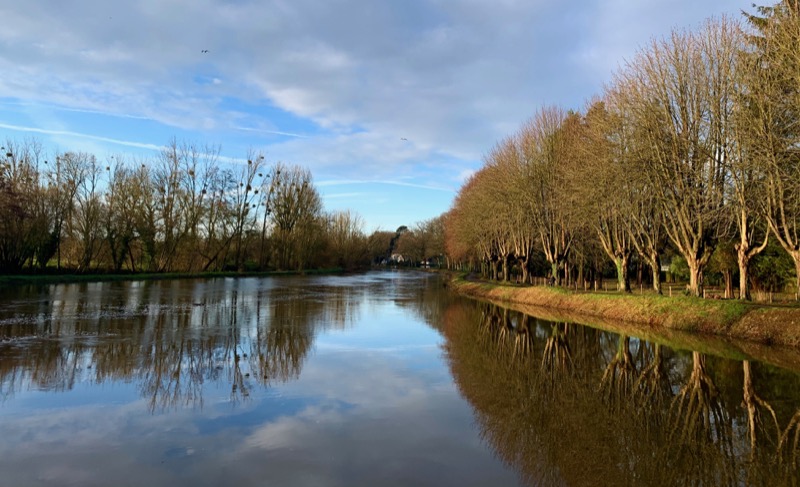
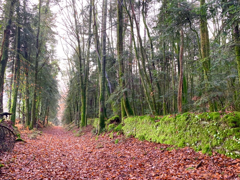
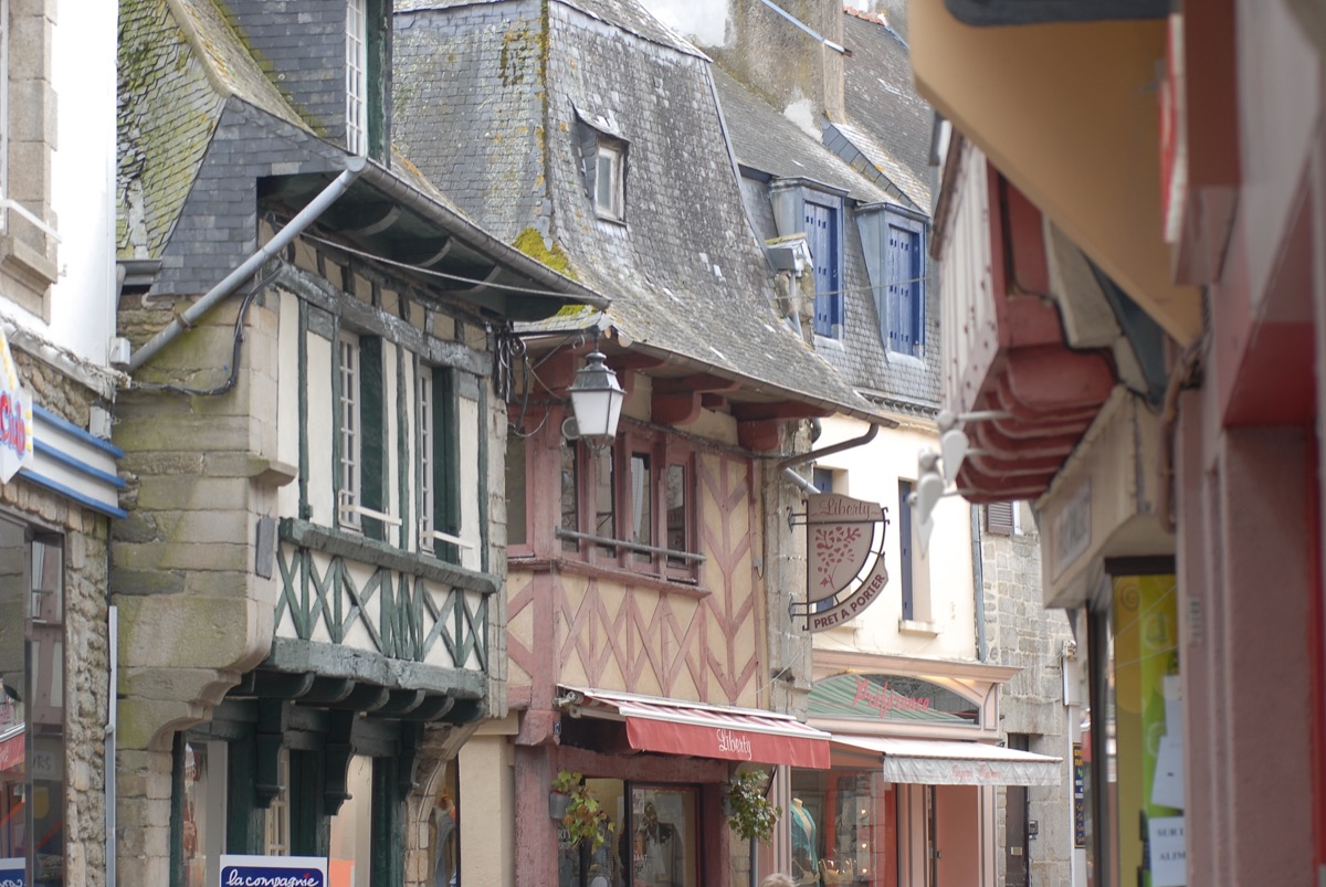
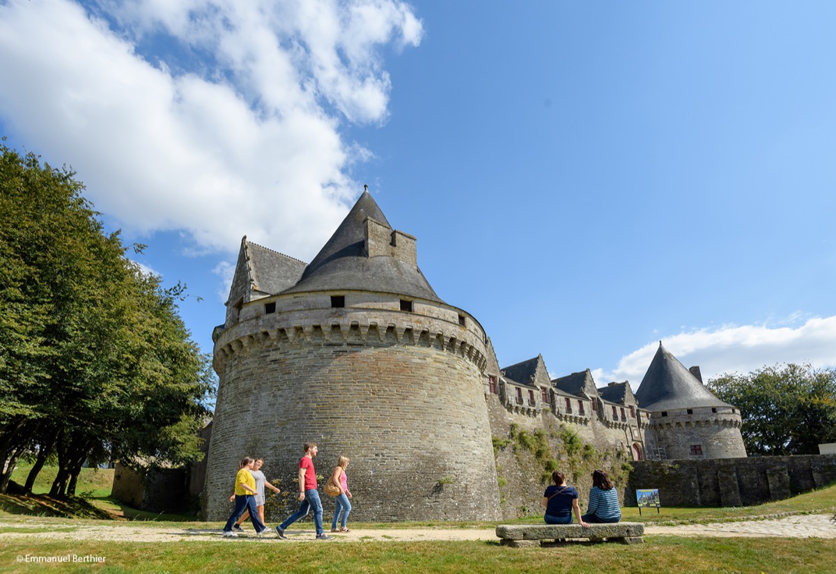
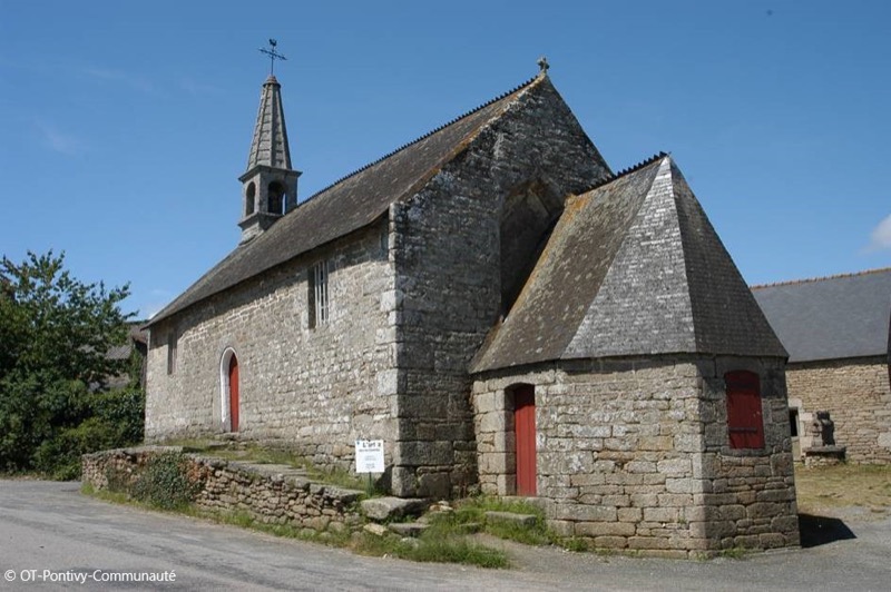
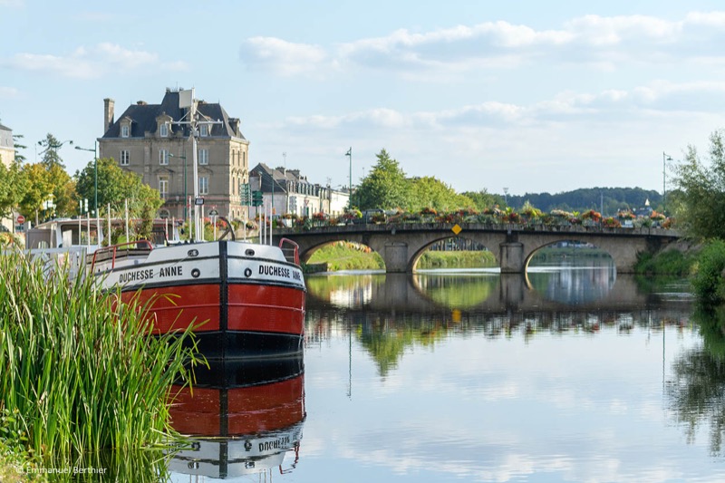
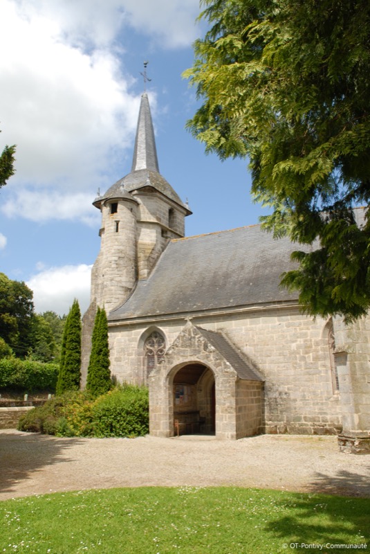
After a first part of the Greenway along the canal from Nantes to Brest, you will discover the surroundings of the village of Stival to the rhythm of sunken paths, small roads and forest trails. You then leave the village by its southern side to reach Sainte Tréphine and its magnificent chapel. From there, the itinerary follows a succession of paths before reaching Blavet river and its towpath. After crossing the right bank, we again take advantage of paths and small roads to discover the eastern part of the town. The return is done by the castle and the streets to discover the heritage of the heart of the city.
Attention : Itinerary open from March 1st to September 15th. Closed during the hunting season.

- Distance 28.7 km
- Elevation gain 420 m
- Elevation lost 420 m
- Min. elevation 52 m
- Max. elevation. 135 m
- Duration (depending on pace) 2h45 à 5h
- Marking Trail-running n°61 red (soon)

Available this summer, the application Coeur de Bretagne will allow you to find all the trail running and hiking trails on your smartphone.
You will find many features in this application:
- locate yourself the route
- download data for offline access
- take advantage of detailed IGN maps
- add your chrono on the route
- find the services nearby...


the digital trails


![]()
Infos & contact
Destination Coeur de Bretagne - Kalon Breizh
6 rue Joseph Pennec
22110 Rostrenen
Tel. +33(0)2 96 29 26 53

