
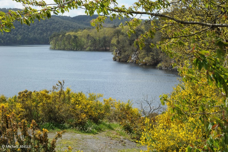
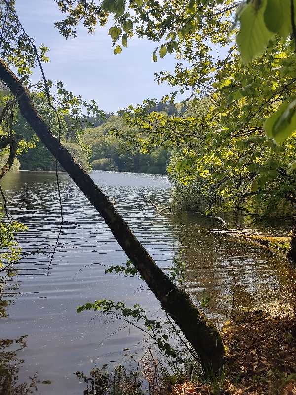
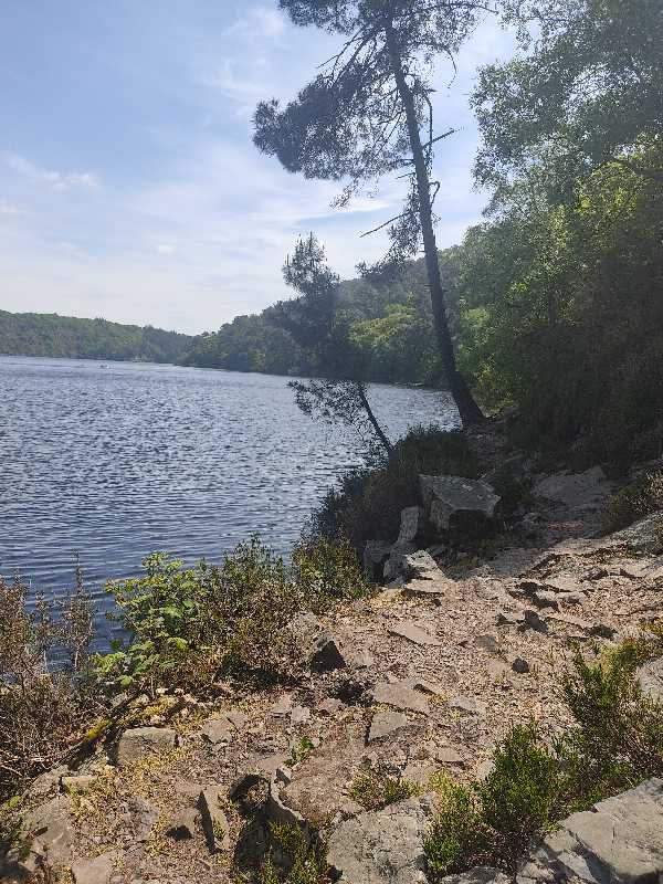
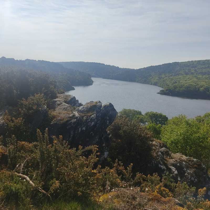
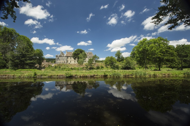
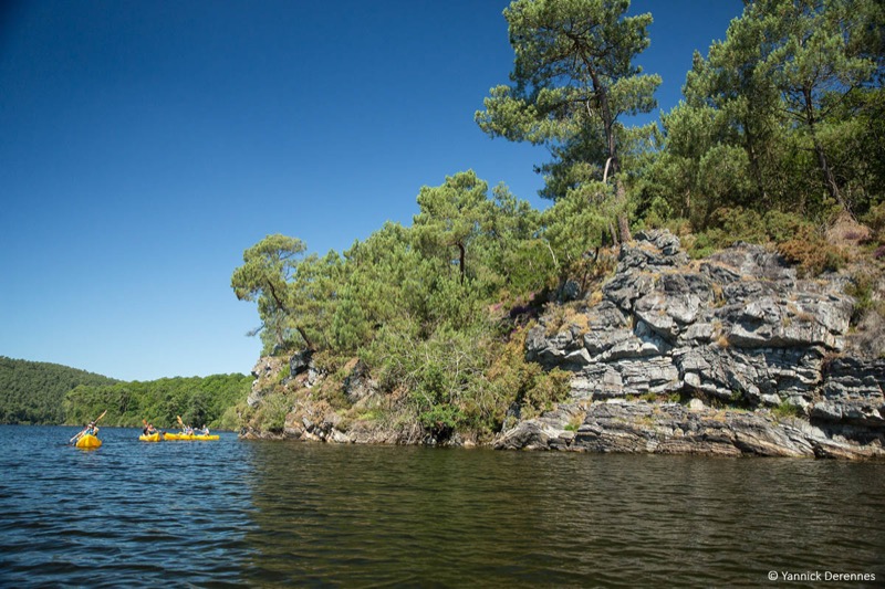
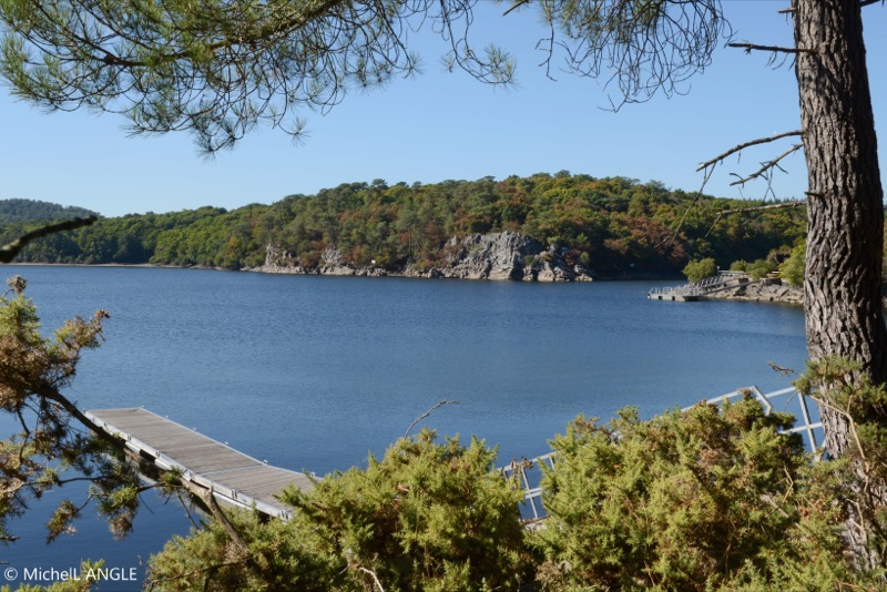
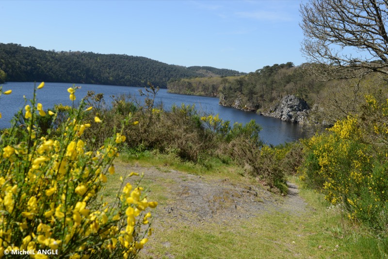
Take a complete loop of the lake of Guerlédan. An itinerary with mainly single tracks, on a rhythmical and technical terrain, offering superb views of the lake. Halfway along the route, between the Bellevue lock and the Bois de la Quenouille, the route will give way to a towpath and
a small road. A section where you will have the opportunity to run faster before returning on single tracks along the lake.
ATTENTION : In order to limit the impact of the marking signs, this route is not specifically marked out trail. Follow the green hiking marking signs "Sentier de Guerlédan".
ATTENTION : Route open from March to September only. During the hunting season, use the two bypass variants indicated.

- Distance 36.5 km
- Elevation gain 790 m
- Elevation lost 790 m
- Min. elevation 80 m
- Max. elevation. 185 m
- Duration (depending on pace) 3h45 à 7h30
- Marking Follow green hiking signs

Available this summer, the application Coeur de Bretagne will allow you to find all the trail running and hiking trails on your smartphone.
You will find many features in this application:
- locate yourself the route
- download data for offline access
- take advantage of detailed IGN maps
- add your chrono on the route
- find the services nearby...

julito
julito


the digital trails


![]()
Infos & contact
Destination Coeur de Bretagne - Kalon Breizh
6 rue Joseph Pennec
22110 Rostrenen
Tel. +33(0)2 96 29 26 53

