Show the map
Certified Track - ITRA
Restonica Trail 2020 - 67 km


 Corte (2B)
 Corte (2B)


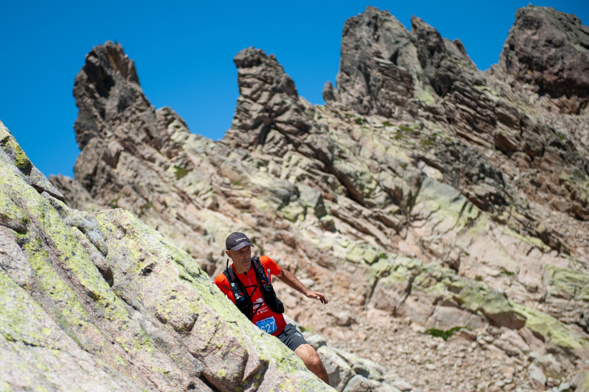
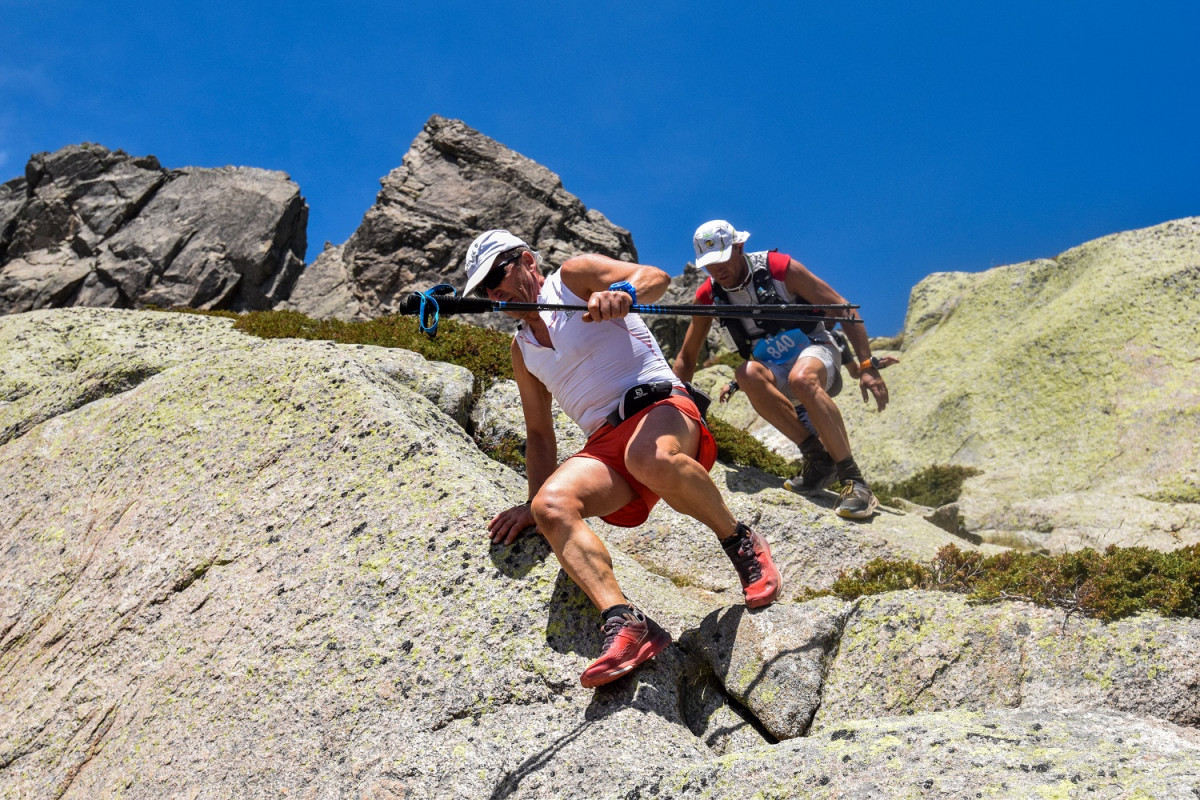

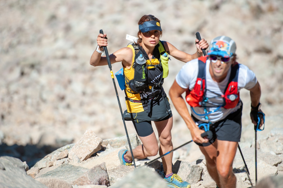
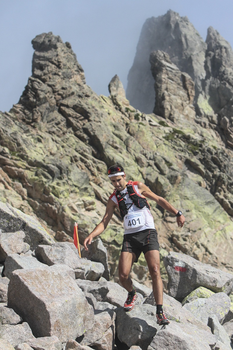
In a most convivial atmosphere, you will cross the most sumptuous landscapes of the Corsican mountain, the summer pastures, the lakes of altitude (Ninu, Capitellu and Melu), while passing by the highest Corsican massifs, in particular that of the Rotondo, with the pass of Bocca alle Porte at 2,225 m. You will follow the 2 large valleys that converge at Corte, Tavignanu and Restonica that gives its name to the race.
Points of Interest table
| Accum. | Intermediary | |||||||
|---|---|---|---|---|---|---|---|---|
| POI | Description | Alt. | Dist. | D+ | D- | Dist. | D+ | D- |
 Competition organized on 08/22/2020
Trace n°92839
Ascent threshold : 3 m Distance threshold : 30 m Smoothing : Yes Origin of altitudes : MNT IGN
Ascent threshold : 3 m Distance threshold : 30 m Smoothing : Yes Origin of altitudes : MNT IGN
Loop
Dominant terrain : Footpath
Max alti. : 2241 m
Avg alti. : 1363 m
Min alti. : 423 m
Longest ascent : 1480 m
Longest descent : 1460 m
Dominant terrain : Footpath
Max alti. : 2241 m
Avg alti. : 1363 m
Min alti. : 423 m
Longest ascent : 1480 m
Longest descent : 1460 m
More tools
Create a new roadbook page
Map and track on your website
Warning ! When you insert a Trace de Trail map on your website, you agree not to hide any element of the module (links to Trail Trail or Trail Connect banner)
Add a realisation
Validate
Add a realisation to share your chrono and describe the conditions that you encountered during you trail running !
Add a comment
Validate
Show the infos
Add a track


