
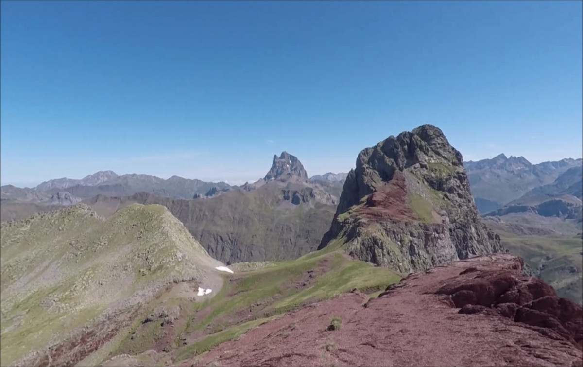
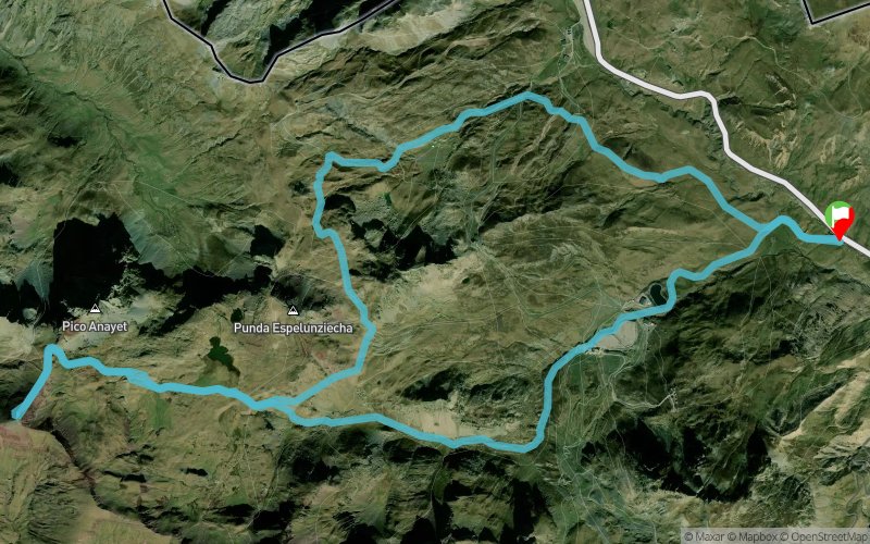
Vallon de Culivillas - Lac d'Anayet - Vertice d'Anayet - Cuello Espelunciecha
ROUTE TESTED BY THE AUTHOR
 16.9 km
1180 m
1180 m
16.9 km
1180 m
1180 m
GPX
18
PDF
Profile
Share
3D
Favorites
Reviews
Like
Formigal (ES) Formigal (ES)
Effort kilometer
Longest ascent
Longest descent
28
980 m
650 m
Max. elevation
Min. elevation
Quality index
2539 m
1574 m
 1pt/14m
Rares passages hors-sentier. Quelques passages techniques. Montée/descente au Vertice d'Anayet où il faut être prudent. Plus d'infos sur le site internet.

Start
Distance
0 km
Altitude
1609 m
D+
0 m
D-
0 m
16.9 km
1180 m
1180 m
Finish
Distance
16.9 km
Altitude
1609 m
D+
1180 m
D-
1180 m
Click on a point of interest to display it on the map
Reviews and times
Add a track
Vallon de Culivillas - Lac d'Anayet - Vertice d'Anayet - Cuello Espelunciecha

Track number : 92721
Link to track :
https://tracedetrail.fr/en/trace/92721
Log in to insert this track on your website
 Trace de Trail