Show the map
Mont Bénard - Bois de Courcelles - Bois des Fosses


8.8 km
160 m
160 m
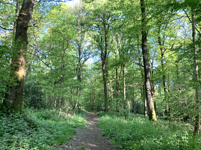
 Savignies (60)
 Points of Interest table
| Accum. | Intermediary | |||||||
|---|---|---|---|---|---|---|---|---|
| POI | Description | Alt. | Dist. | D+ | D- | Dist. | D+ | D- |
Trace n°87786
Ascent threshold : 3 m Distance threshold : 30 m Smoothing : Yes Origin of altitudes : MNT IGN
Ascent threshold : 3 m Distance threshold : 30 m Smoothing : Yes Origin of altitudes : MNT IGN
Loop
Dominant terrain : Path
Max alti. : 214 m
Avg alti. : 180 m
Min alti. : 151 m
Longest ascent : 70 m
Longest descent : 50 m
Route completed by the author : Yes
Dominant terrain : Path
Max alti. : 214 m
Avg alti. : 180 m
Min alti. : 151 m
Longest ascent : 70 m
Longest descent : 50 m
Route completed by the author : Yes
Elevation profile
More tools
Create a new roadbook page
Map and track on your website
Warning ! When you insert a Trace de Trail map on your website, you agree not to hide any element of the module (links to Trail Trail or Trail Connect banner)
Add a realisation
Validate
Add a realisation to share your chrono and describe the conditions that you encountered during you trail running !
Add a comment
Validate
Yannick CHEZE
28/09/21, 09:46:45
Bonjour Cécile, Cette application me semble sympa mais avant de m’abonner, je voulais un avis. Êtes-vous toujours abonnée et êtes-vous satisfaite ? Je cherchais un parcours près de Beauvais et le vôtre m’intéressait. Merci et bonne journée Cordialement Yannick
28/09/21, 09:46:45
Bonjour Cécile, Cette application me semble sympa mais avant de m’abonner, je voulais un avis. Êtes-vous toujours abonnée et êtes-vous satisfaite ? Je cherchais un parcours près de Beauvais et le vôtre m’intéressait. Merci et bonne journée Cordialement Yannick
Show the infos
Add a track


