Show the map
OFFICIAL ROUTE
Boucle Argentière - Le Tour - Tré-le-Champ
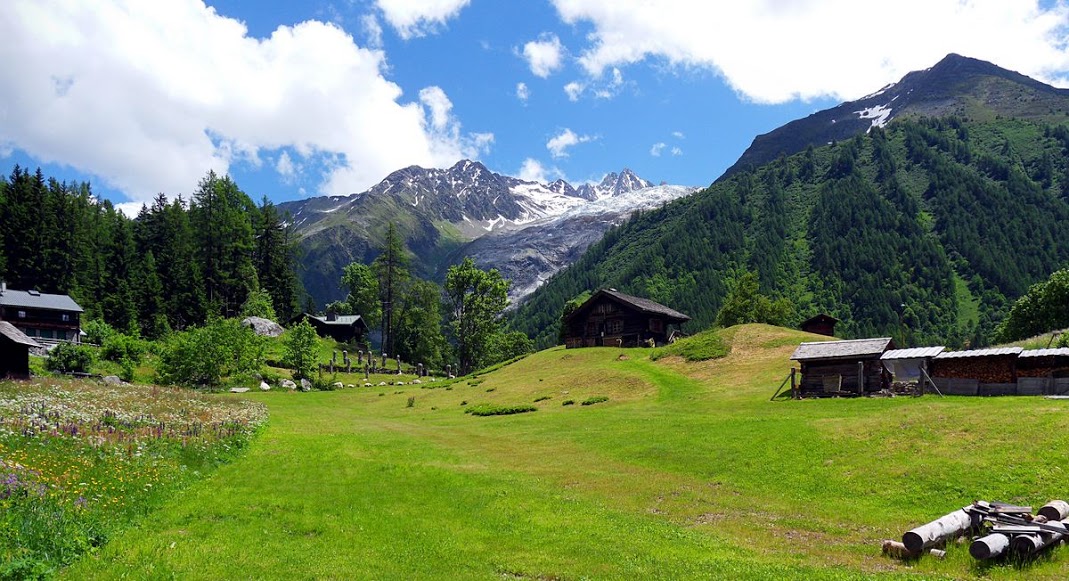


 Argentière (74)

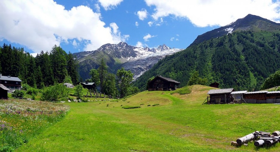
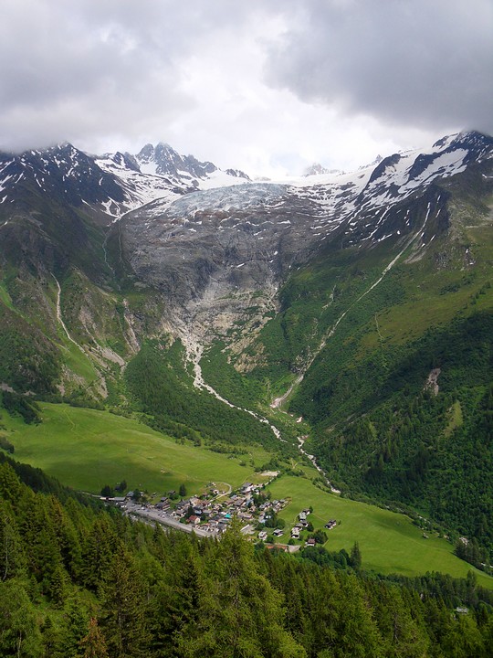
Course over good earth footpaths with very varied slopes and not very technical. Ideal for a short trip, to practise adapting one's rhythm to the slope and running over certain sections.
Points of Interest table
| Accum. | Intermediary | |||||||
|---|---|---|---|---|---|---|---|---|
| POI | Description | Alt. | Dist. | D+ | D- | Dist. | D+ | D- |
Trace n°774
Ascent threshold : 3 m Distance threshold : 30 m Smoothing : Yes Origin of altitudes : MNT Aster GDEM
Ascent threshold : 3 m Distance threshold : 30 m Smoothing : Yes Origin of altitudes : MNT Aster GDEM
Loop
Dominant terrain : Footpath
Max alti. : 1539 m
Avg alti. : 1402 m
Min alti. : 1241 m
Longest ascent : 293 m
Longest descent : 308 m
Route completed by the author : Yes
Dominant terrain : Footpath
Max alti. : 1539 m
Avg alti. : 1402 m
Min alti. : 1241 m
Longest ascent : 293 m
Longest descent : 308 m
Route completed by the author : Yes
Elevation profile
More tools
Create a new roadbook page
Map and track on your website
Warning ! When you insert a Trace de Trail map on your website, you agree not to hide any element of the module (links to Trail Trail or Trail Connect banner)
Add a realisation
Validate
Add a comment
Validate
Doudouille
17/04/19, 20:59:16
Bonsoir, le parcours est il indiqué par Gps ? Ou seulement lire les instructions avant de partir ?
17/04/19, 20:59:16
Bonsoir, le parcours est il indiqué par Gps ? Ou seulement lire les instructions avant de partir ?
Show the infos
Privilégier de suivre l'itinéraire conseillé
Add a track


