
Common route with Espace Trail Puy Mary Volcano of Cantal
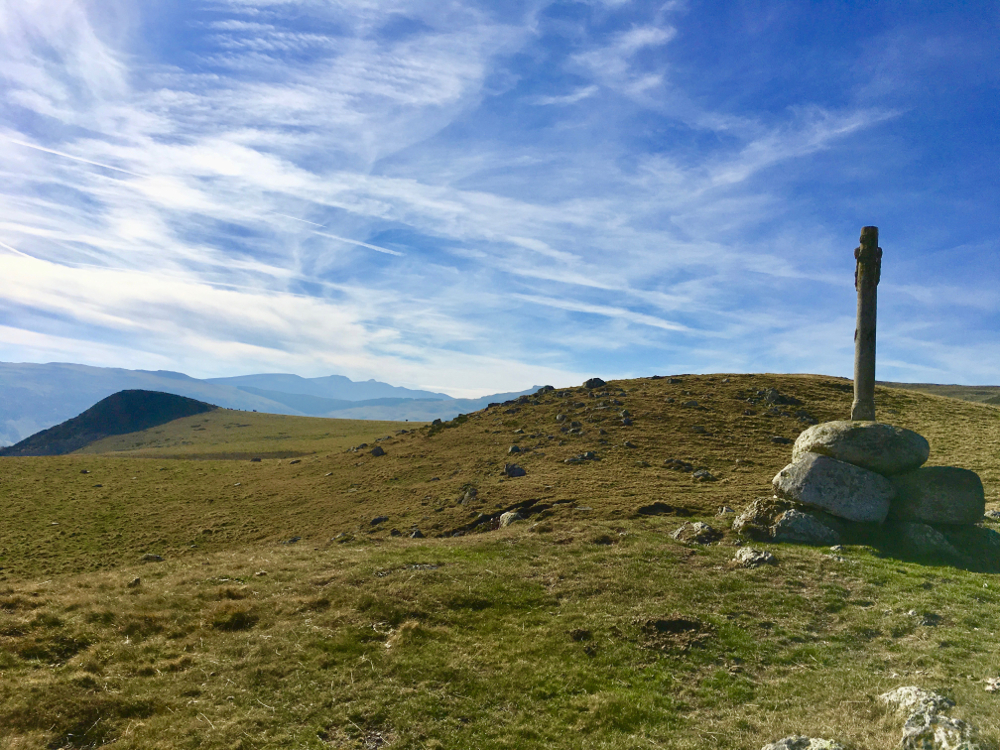
This easy level route will take you to the Limon plateau and the Croix du Gendarme from where you will enjoy a breathtaking view of the valley of Santoire and the Rock of Laqueille. You will discover the historical path of Quiroux, which allowed the inhabitants of Cheylade and Claux to join Dienne to pay their taxes. The cairns along this path every 20m avoided the travelers to get lost in bad weather.

- Distance 8.5 km
- Elevation gain 380 m
- Elevation lost 380 m
- Min. elevation 1057 m
- Max. elevation. 1407 m
- Duration (depending on pace) 1h à 2h
- Marking n°51 green


Contact Carladès area
Carladès Tourist Office
Avenue A. Mercier
15800 Vic-sur-Cère
Tel. 04.71.47.50.68
Carladès Tourisme
tourisme@carlades.fr
![]()
Contact Hautes Terres area
Hautes Terres Tourist Office
Pl. Hôtel de ville - 15300 Murat
Tel. 04.71.20.09.47
Hautes Terres Tourisme
contact@hautesterrestourisme.fr
@hautesterrestourisme
@hautesterrestourisme

