Show the map
Evaluated Track - ITRA
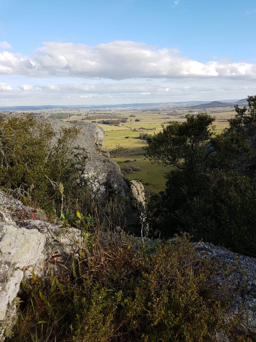
Arequita Trail 2019 - Distancia Media


 Camping Arequita (UY)


Carrera muy técnica , semi- autosuficiente, trillos empedrados ,senderos ,cruce de arroyos, constante subida , bajadas en las sierras , montes nativos y forestal en un entorno de belleza natural.
Points of Interest table
| Accum. | Intermediary | |||||||
|---|---|---|---|---|---|---|---|---|
| POI | Description | Alt. | Dist. | D+ | D- | Dist. | D+ | D- |
 Competition organized on 12/09/2018
Trace n°71625
Ascent threshold : 0 m Distance threshold : 30 m Smoothing : Yes Origin of altitudes : MNT Aster GDEM
Ascent threshold : 0 m Distance threshold : 30 m Smoothing : Yes Origin of altitudes : MNT Aster GDEM
Loop
Dominant terrain : Footpath
Max alti. : 265 m
Avg alti. : 167 m
Min alti. : 109 m
Longest ascent : 170 m
Longest descent : 150 m
Dominant terrain : Footpath
Max alti. : 265 m
Avg alti. : 167 m
Min alti. : 109 m
Longest ascent : 170 m
Longest descent : 150 m
Elevation profile
More tools
Create a new roadbook page
Map and track on your website
Warning ! When you insert a Trace de Trail map on your website, you agree not to hide any element of the module (links to Trail Trail or Trail Connect banner)
Add a realisation
Validate
Add a realisation to share your chrono and describe the conditions that you encountered during you trail running !
Add a comment
Validate
Show the infos
Warning ! This track is only accessible on the day of the competition.
Add a track


