Show the map
Montagne de Tentanet
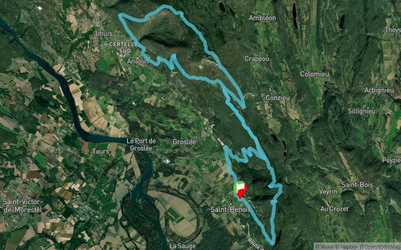


29.8 km
1420 m
1419 m
 Saint-Benoît (01)
 Saint-Benoît (01)
 Points of Interest table
| Accum. | Intermediary | |||||||
|---|---|---|---|---|---|---|---|---|
| POI | Description | Alt. | Dist. | D+ | D- | Dist. | D+ | D- |
Trace n°716
Ascent threshold : 0 m Distance threshold : 35 m Smoothing : Yes Origin of altitudes : MNT Aster GDEM
Ascent threshold : 0 m Distance threshold : 35 m Smoothing : Yes Origin of altitudes : MNT Aster GDEM
Loop
Dominant terrain : Footpath
Max alti. : 994 m
Avg alti. : 579 m
Min alti. : 214 m
Longest ascent : 467 m
Longest descent : 484 m
Route completed by the author : nc
Dominant terrain : Footpath
Max alti. : 994 m
Avg alti. : 579 m
Min alti. : 214 m
Longest ascent : 467 m
Longest descent : 484 m
Route completed by the author : nc
Elevation profile
More tools
Create a new roadbook page
Map and track on your website
Warning ! When you insert a Trace de Trail map on your website, you agree not to hide any element of the module (links to Trail Trail or Trail Connect banner)
Add a realisation
Validate
Add a realisation to share your chrono and describe the conditions that you encountered during you trail running !
Add a comment
Validate
antoineV
01/04/18, 22:33:45
Attention du 18eme au 20eme km partie hors piste dans la pampa avec un passage sur un terrain privé.... Pour faire une trace plus "naturelle" je conseille de tourner à gauche au 13eme pour rattraper le sentier rejoint plus tard au km 19.7
01/04/18, 22:33:45
Attention du 18eme au 20eme km partie hors piste dans la pampa avec un passage sur un terrain privé.... Pour faire une trace plus "naturelle" je conseille de tourner à gauche au 13eme pour rattraper le sentier rejoint plus tard au km 19.7
Show the infos
Add a track


