Show the map
Col de la Courade - Cap d'Aygue Rouye - Lac de l'Œuf - Lac d'Aygue Rouye
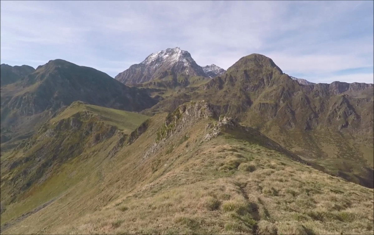


 Campan (65)
 Points of Interest table
| Accum. | Intermediary | |||||||
|---|---|---|---|---|---|---|---|---|
| POI | Description | Alt. | Dist. | D+ | D- | Dist. | D+ | D- |
Trace n°70744
Ascent threshold : 3 m Distance threshold : 30 m Smoothing : No Origin of altitudes : MNT Aster GDEM
Ascent threshold : 3 m Distance threshold : 30 m Smoothing : No Origin of altitudes : MNT Aster GDEM
Loop
Dominant terrain : Footpath
Max alti. : 2002 m
Avg alti. : 1585 m
Min alti. : 1230 m
Longest ascent : 770 m
Longest descent : 730 m
Route completed by the author : Yes
Dominant terrain : Footpath
Max alti. : 2002 m
Avg alti. : 1585 m
Min alti. : 1230 m
Longest ascent : 770 m
Longest descent : 730 m
Route completed by the author : Yes
Elevation profile
More tools
Create a new roadbook page
Map and track on your website
Warning ! When you insert a Trace de Trail map on your website, you agree not to hide any element of the module (links to Trail Trail or Trail Connect banner)
Add a realisation
Validate
Add a realisation to share your chrono and describe the conditions that you encountered during you trail running !
Add a comment
Validate
Le-Bouquetin-Boiteux
30/05/20, 06:33:57
Oui. Par contre, il y a des zones d'estive (comme la grande majorité des Pyrénées).
30/05/20, 06:33:57
Oui. Par contre, il y a des zones d'estive (comme la grande majorité des Pyrénées).
Show the infos
Add a track


