Show the map
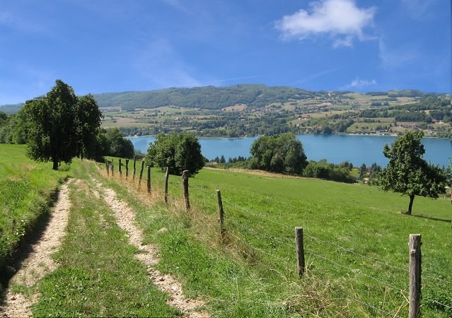
Tour du Lac de Paladru par les hauteurs


31.83 km
911 m
911 m
 Paladru (38)
 Points of Interest table
| Accum. | Intermediary | |||||||
|---|---|---|---|---|---|---|---|---|
| POI | Description | Alt. | Dist. | D+ | D- | Dist. | D+ | D- |
Trace n°69
Ascent threshold : 3 m Distance threshold : 30 m Smoothing : Yes Origin of altitudes : MNT IGN
Ascent threshold : 3 m Distance threshold : 30 m Smoothing : Yes Origin of altitudes : MNT IGN
Loop
Dominant terrain : Path
Max alti. : 804 m
Avg alti. : 584 m
Min alti. : 492 m
Longest ascent : 320 m
Longest descent : 260 m
Route completed by the author : Yes
Dominant terrain : Path
Max alti. : 804 m
Avg alti. : 584 m
Min alti. : 492 m
Longest ascent : 320 m
Longest descent : 260 m
Route completed by the author : Yes
Elevation profile
More tools
Create a new roadbook page
Map and track on your website
Warning ! When you insert a Trace de Trail map on your website, you agree not to hide any element of the module (links to Trail Trail or Trail Connect banner)
Add a realisation
Validate
Add a comment
Validate
Chrissou38
15/03/13, 15:35:51
Bonjour Cécile
Je me permets de venir a toi, car j'aimerai télécharger la trace de ce tour de Paladru dans ma GARMIN 910, sait tu comment je peux faire?
Sportivement
15/03/13, 15:35:51
Bonjour Cécile
Je me permets de venir a toi, car j'aimerai télécharger la trace de ce tour de Paladru dans ma GARMIN 910, sait tu comment je peux faire?
Sportivement
Cécile
01/01/13, 22:22:36
Très belle sortie !
C'est plaisant de faire le Lac de Paladru par les hauteurs !
01/01/13, 22:22:36
Très belle sortie !
C'est plaisant de faire le Lac de Paladru par les hauteurs !
Show the infos
Add a track


