Show the map
Ultra Trail du Beaujolais Vert 2018 - 105
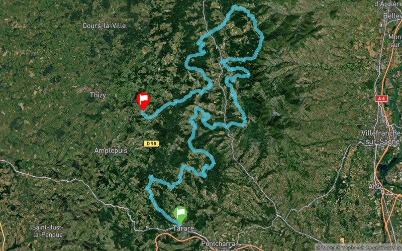


 Tarare (69)
 Cublize (69)
 Points of Interest table
| Accum. | Intermediary | |||||||
|---|---|---|---|---|---|---|---|---|
| POI | Description | Alt. | Dist. | D+ | D- | Dist. | D+ | D- |
 Competition organized on 10/12/2018
Trace n°56379
Ascent threshold : 0 m Distance threshold : 30 m Smoothing : Yes Origin of altitudes : MNT IGN
Ascent threshold : 0 m Distance threshold : 30 m Smoothing : Yes Origin of altitudes : MNT IGN
Crossing
Dominant terrain : Road
Max alti. : 906 m
Avg alti. : 619 m
Min alti. : 320 m
Longest ascent : 550 m
Longest descent : 490 m
Dominant terrain : Road
Max alti. : 906 m
Avg alti. : 619 m
Min alti. : 320 m
Longest ascent : 550 m
Longest descent : 490 m
Elevation profile
More tools
Create a new roadbook page
Map and track on your website
Warning ! When you insert a Trace de Trail map on your website, you agree not to hide any element of the module (links to Trail Trail or Trail Connect banner)
Add a realisation
Validate
Add a realisation to share your chrono and describe the conditions that you encountered during you trail running !
Add a comment
Validate
Philaforce
02/10/18, 17:38:16
En important ce ficher gpx dans Garmin Connect, le message suivant s'affiche "Une erreur est survenue lors du transfert. Veuillez réessayer". Si quelqu'un a une explication, merci.
02/10/18, 17:38:16
En important ce ficher gpx dans Garmin Connect, le message suivant s'affiche "Une erreur est survenue lors du transfert. Veuillez réessayer". Si quelqu'un a une explication, merci.
Show the infos
Add a track


