Show the map
Desperado Trail 2016 - Variante Publique - 34 km
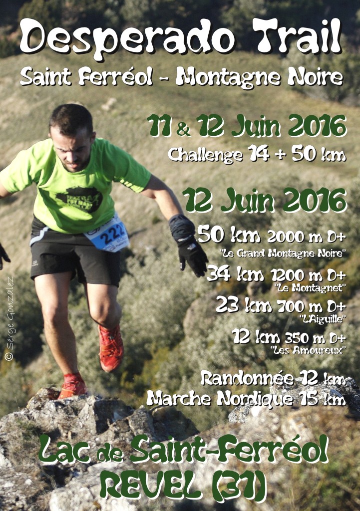


 Revel (31)
 Points of Interest table
| Accum. | Intermediary | |||||||
|---|---|---|---|---|---|---|---|---|
| POI | Description | Alt. | Dist. | D+ | D- | Dist. | D+ | D- |
Trace n°52190
Ascent threshold : 3 m Distance threshold : 30 m Smoothing : Yes Origin of altitudes : MNT Aster GDEM
Ascent threshold : 3 m Distance threshold : 30 m Smoothing : Yes Origin of altitudes : MNT Aster GDEM
Loop
Dominant terrain : Footpath
Max alti. : 680 m
Avg alti. : 498 m
Min alti. : 261 m
Longest ascent : 330 m
Longest descent : 290 m
Route completed by the author : nc
Dominant terrain : Footpath
Max alti. : 680 m
Avg alti. : 498 m
Min alti. : 261 m
Longest ascent : 330 m
Longest descent : 290 m
Route completed by the author : nc
Elevation profile
More tools
Create a new roadbook page
Map and track on your website
Warning ! When you insert a Trace de Trail map on your website, you agree not to hide any element of the module (links to Trail Trail or Trail Connect banner)
Add a realisation
Validate
Add a realisation to share your chrono and describe the conditions that you encountered during you trail running !
Add a comment
Validate
DesperadoTrail
12/09/18, 10:09:23
@Vito47, en haut du gouffre de Malamort il devrait y avoir un chemin qui longe la paroi et qui bifurque un peu plus haut dans le bois sur la droite pour rejoindre la tour Roquefort. Ces chemins sont peu empruntés et ne sont peut être pas très visibles...
12/09/18, 10:09:23
@Vito47, en haut du gouffre de Malamort il devrait y avoir un chemin qui longe la paroi et qui bifurque un peu plus haut dans le bois sur la droite pour rejoindre la tour Roquefort. Ces chemins sont peu empruntés et ne sont peut être pas très visibles...
Show the infos
Add a track


