Show the map
OFFICIAL ROUTE
Rocheblanche


 Villard-Saint-Sauveur (39)
 Les Molunes (39)
 Points of Interest table
| Accum. | Intermediary | |||||||
|---|---|---|---|---|---|---|---|---|
| POI | Description | Alt. | Dist. | D+ | D- | Dist. | D+ | D- |
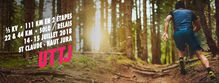
 Competition organized on 07/17/2021
Trace n°48817
Ascent threshold : 3 m Distance threshold : 30 m Smoothing : Yes Origin of altitudes : MNT Aster GDEM
Ascent threshold : 3 m Distance threshold : 30 m Smoothing : Yes Origin of altitudes : MNT Aster GDEM
Crossing
Dominant terrain : Footpath
Max alti. : 1141 m
Avg alti. : 823 m
Min alti. : 457 m
Longest ascent : 700 m
Longest descent : 10 m
Dominant terrain : Footpath
Max alti. : 1141 m
Avg alti. : 823 m
Min alti. : 457 m
Longest ascent : 700 m
Longest descent : 10 m
More tools
Create a new roadbook page
Map and track on your website
Warning ! When you insert a Trace de Trail map on your website, you agree not to hide any element of the module (links to Trail Trail or Trail Connect banner)
Add a realisation
Validate
Add a realisation to share your chrono and describe the conditions that you encountered during you trail running !
Add a comment
Validate
Admin - Trace de Trail
08/12/17, 21:27:37
Bonjour, Merci de ne laisser en public qu'une seule trace pour une même compétition.
08/12/17, 21:27:37
Bonjour, Merci de ne laisser en public qu'une seule trace pour une même compétition.
Show the infos
Add a track


