Show the map
Oxubii 1


15.8 km
760 m
720 m
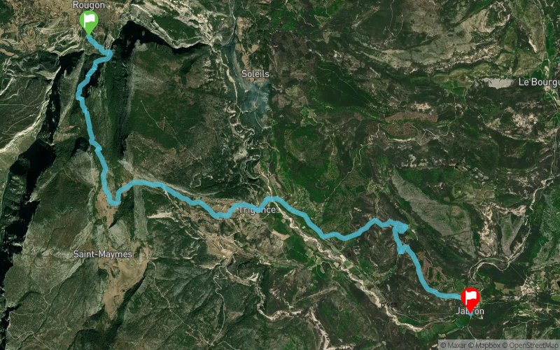
 Rougon (04)
 Comps-sur-Artuby (83)
 Points of Interest table
| Accum. | Intermediary | |||||||
|---|---|---|---|---|---|---|---|---|
| POI | Description | Alt. | Dist. | D+ | D- | Dist. | D+ | D- |
Trace n°28662
Ascent threshold : 5 m Distance threshold : 30 m Smoothing : Yes Origin of altitudes : MNT Aster GDEM
Ascent threshold : 5 m Distance threshold : 30 m Smoothing : Yes Origin of altitudes : MNT Aster GDEM
Crossing
Dominant terrain : Path
Max alti. : 1155 m
Avg alti. : 847 m
Min alti. : 624 m
Longest ascent : 530 m
Longest descent : 480 m
Route completed by the author : nc
Dominant terrain : Path
Max alti. : 1155 m
Avg alti. : 847 m
Min alti. : 624 m
Longest ascent : 530 m
Longest descent : 480 m
Route completed by the author : nc
Elevation profile
More tools
Create a new roadbook page
Map and track on your website
Warning ! When you insert a Trace de Trail map on your website, you agree not to hide any element of the module (links to Trail Trail or Trail Connect banner)
Add a realisation
Validate
Add a realisation to share your chrono and describe the conditions that you encountered during you trail running !
Add a comment
Validate
Admin - Trace de Trail
04/11/16, 20:29:09
Ah ! pourquoi challenge alors ? cela correspond à quoi ? Si ce n'est pas une compétition, il faudrait suivre ces règles de nommage : http://tracedetrail.fr/fr/accueil/help/alire Merci et bonne soirée.
04/11/16, 20:29:09
Ah ! pourquoi challenge alors ? cela correspond à quoi ? Si ce n'est pas une compétition, il faudrait suivre ces règles de nommage : http://tracedetrail.fr/fr/accueil/help/alire Merci et bonne soirée.
More comments
Admin - Trace de Trail
03/11/16, 21:28:15
Bonjour, Merci de classer votre trace en compétition avant de la placer en publique.
03/11/16, 21:28:15
Bonjour, Merci de classer votre trace en compétition avant de la placer en publique.
Show the infos
Add a track


