
Cordillera Mountain Ultra 2017 - 21K Mountain Run
ITRA
 24.1 km
1490 m
1480 m
24.1 km
1490 m
1480 m

GPX
14
PDF
Profile
Share
3D
Favorites
Reviews
Like
Itogon (PH) (PH)
Effort kilometer
Longest ascent
Longest descent
39
890 m
900 m
Max. elevation
Min. elevation
Quality index
1178 m
351 m
 1pt/7m
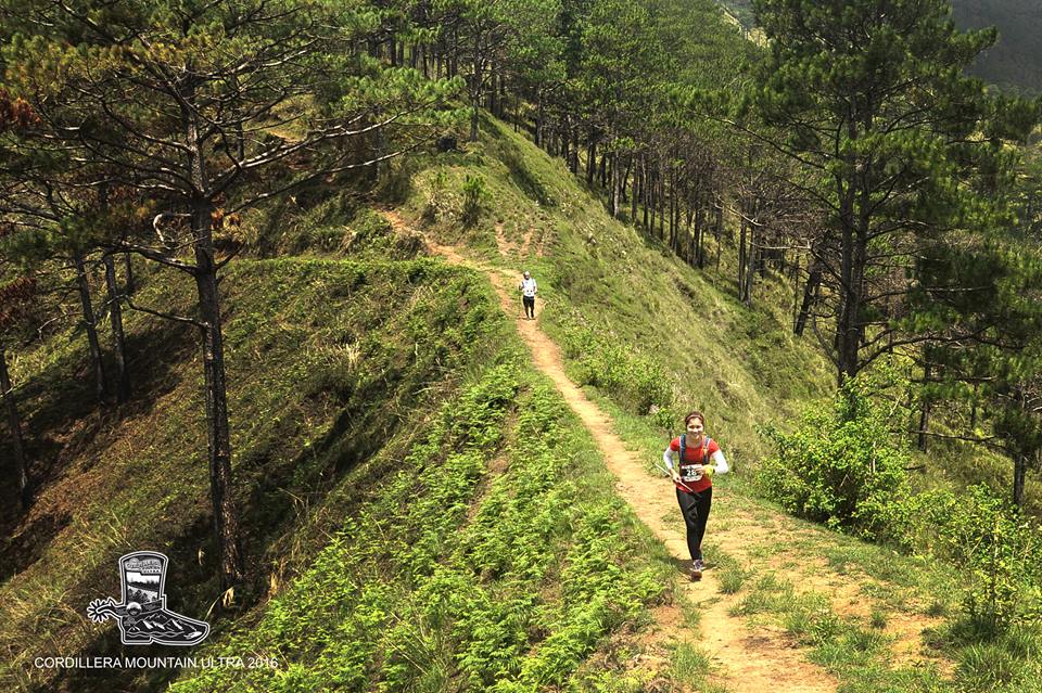
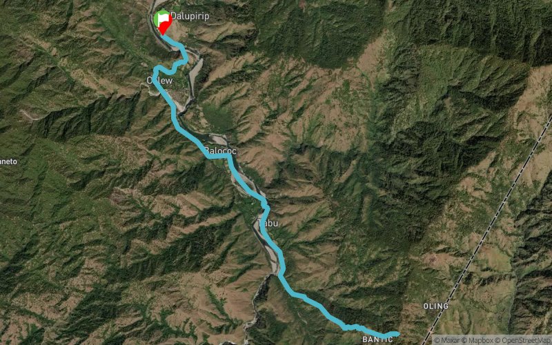
The 21KM Mountain Run goes up to a ridge in the village of Bantik that overlooks the entire Agno River Valley, as well as the Cagayan Valley and the Western Coastline of Norther Luzon and the West Philippine Sea before it turns back to the starting line.
The course will pass through 3 long hanging bridges across the Agno River
Distance: 21kms
D+: 1023m
D-: 1023m
En voir plus... En voir moins...

Start
Distance
0 km
Altitude
398 m
D+
0 m
D-
0 m
24.1 km
1490 m
1480 m
Finish
Distance
24.1 km
Altitude
398 m
D+
1490 m
D-
1480 m
Click on a point of interest to display it on the map
Reviews and times
Add a track
Cordillera Mountain Ultra 2017 - 21K Mountain Run

Track number : 28017
Link to track :
https://tracedetrail.fr/en/trace/28017
Log in to insert this track on your website
 Trace de Trail