Show the map
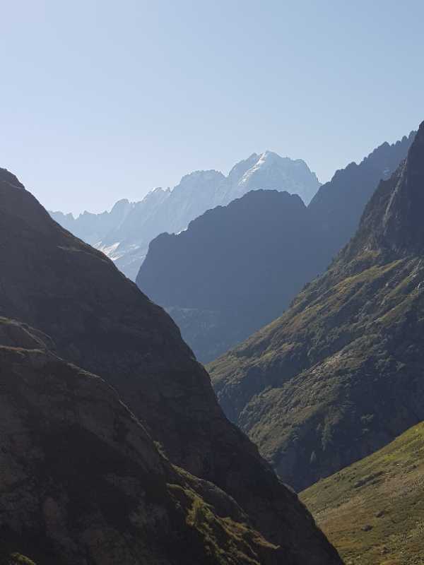
VALLORCINE/ TRE LES EAUX/ COL CORBEAU/ COL DE LA TERRASSE/LORIAZ/ VALLORCINE


11.7 km
1250 m
770 m
 Vallorcine (74)
 Vallorcine (74)
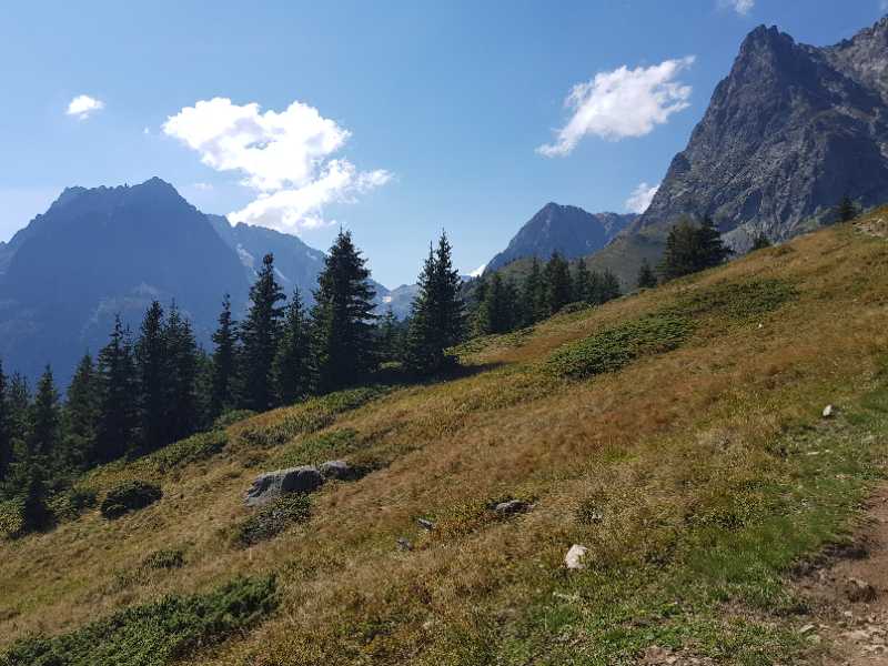
Points of Interest table
| Accum. | Intermediary | |||||||
|---|---|---|---|---|---|---|---|---|
| POI | Description | Alt. | Dist. | D+ | D- | Dist. | D+ | D- |
Trace n°128810
Ascent threshold : 10 m Distance threshold : 0 m Smoothing : No Origin of altitudes : TrailConnect Android (baro) - GPS
Ascent threshold : 10 m Distance threshold : 0 m Smoothing : No Origin of altitudes : TrailConnect Android (baro) - GPS
Loop
Dominant terrain : Footpath
Max alti. : 2641 m
Avg alti. : 1940 m
Min alti. : 1409 m
Longest ascent : 1250 m
Longest descent : 10 m
Route completed by the author : Yes
Dominant terrain : Footpath
Max alti. : 2641 m
Avg alti. : 1940 m
Min alti. : 1409 m
Longest ascent : 1250 m
Longest descent : 10 m
Route completed by the author : Yes
Elevation profile
More tools
Create a new roadbook page
Map and track on your website
Warning ! When you insert a Trace de Trail map on your website, you agree not to hide any element of the module (links to Trail Trail or Trail Connect banner)
Add a realisation
Validate
Add a realisation to share your chrono and describe the conditions that you encountered during you trail running !
Add a comment
Validate
Show the infos
Add a track


