Des châteaux à la campagne
Add to my favorites


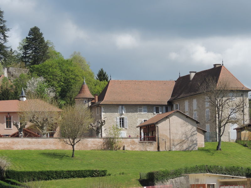
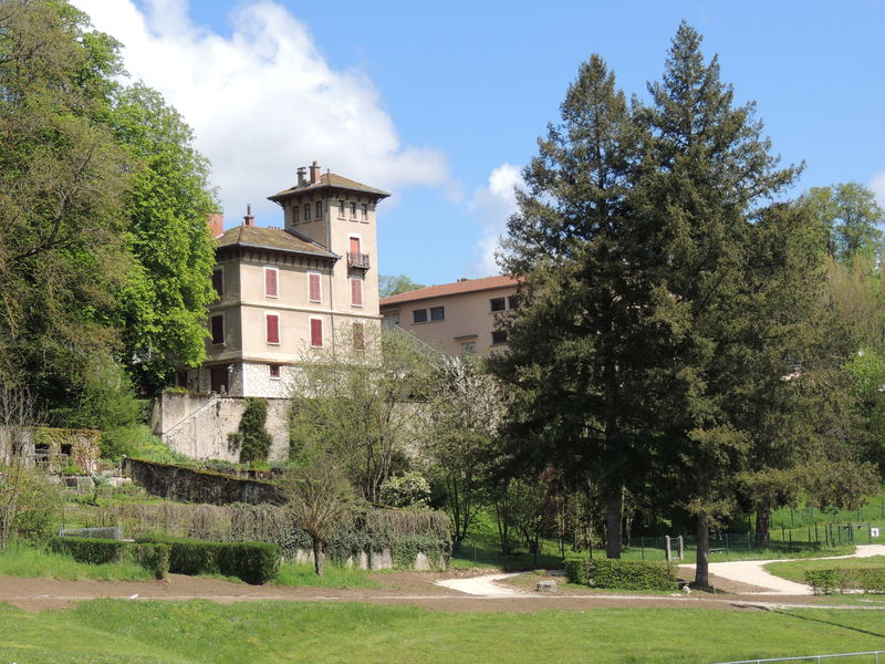
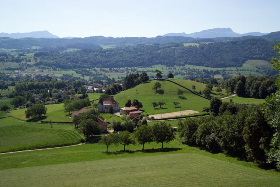
Au départ de la station multi-rando, sous la piscine municipale, cette balade vous permet de longer les sept châteaux de la commune et de profiter de paysages parsemés d'immenses châtaigniers et de fraiches forêts.
Route labeled FFRandonnée

The characteristics of the route.

Saint-Geoire-en-Valdaine (38)
- Distance 14.2 km
- Elevation gain 480 m
- Elevation lost 480 m
- Min. elevation 411 m
- Max. elevation. 696 m
- Duration (depending on pace) 4h
- Marking Yes
Equipments : Car park, Admission fee : Free access.Opening : All year round.
Subject to favorable weather.
Area : Pays Voironnais
Report a problem 1 comment
Website Pdf file Features of the application :
- Location and orientation on detailed maps thanks to the GPS of your smartphone
- Description of routes and points of interest on the route
- Photo gallery by route
- Detailed elevation profile
- Route tracking alert to warn you if you stray from the route
- Send predefined messages by SMS to your contacts
- Emergency module: trigger a call or send an emergency SMS in case of problem
- Agenda: access to events organized in the department
- News: find in the application the latest news on the web portal
- Adding achievements
- Add reports in case of problems encountered on the routes
- Share on social networks
Add your time and share your feelings
Services nearby

Pégoud Museum
Montferrat

Espace Naturel Sensible des Marais de la Véronnière et du Courbon
Villages du lac de Paladru
Lake Paladru Archeological Museum
Villages du lac de Paladru
Local Resistance and Deportation Museum
Le Pont-de-Beauvoisin
Wood Machine Museum
Le Pont-de-Beauvoisin


Information updated on 2022-09-01 by Isère Attractivité


Follow us on
the digital trails
the digital trails


![]()
The Isère Outdoor application was created
by the Département de l'Isère
Infos & contact
Conseil départemental de l'Isère
7 rue Fantin Latour
CS 41096
38 022 Grenoble cedex 1
Tel. 04 76 00 38 38


OK
Annuler