Route 43 blue - Circuit des carrières
Add to my favorites

Caution: Due to the storms that happened in November, some tracks may be impracticable or closed. Before going out, please contact the local authorities to have more information.
Warning

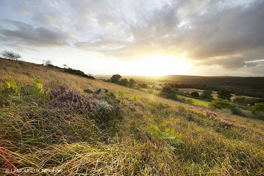
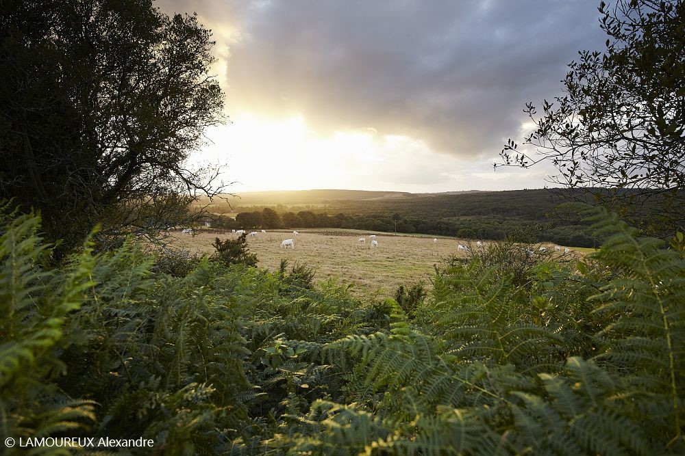
This itinerary starting from the Tourist Office of Gourin will lead you through an alternation of paths and tracks on the foothills of the Black Mountains and the old slate site of Penquerhoët. You will enjoy beautiful panoramas of Gourin and the Black Mountains on a varied itinerary.
The characteristics of the route.

Gourin (56)
- Distance 11.1 km
- Elevation gain 180 m
- Elevation lost 180 m
- Min. elevation 126 m
- Max. elevation. 251 m
- Duration (depending on pace) 1h à 2h
- Marking Trail n°43 blue

Find all the routes in your smartphone
Available this summer, the application Coeur de Bretagne will allow you to find all the trail running and hiking trails on your smartphone.
You will find many features in this application:
- locate yourself the route
- download data for offline access
- take advantage of detailed IGN maps
- add your chrono on the route
- find the services nearby...

Add your time and share your feelings
Services nearby

Cycles Canévet
8 rue Famille-Bouchard Gourin

Gîte de Tronjoly
Gourin
Le domaine des Chimères
Le Saint
Gîte d'étape municipal
Le Saint
Loisirs en gare
Guiscriff


Follow us on
the digital trails
the digital trails


![]()
Infos & contact
Destination Coeur de Bretagne - Kalon Breizh
6 rue Joseph Pennec
22110 Rostrenen
Tel. +33(0)2 96 29 26 53


OK
Annuler