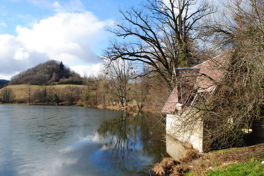
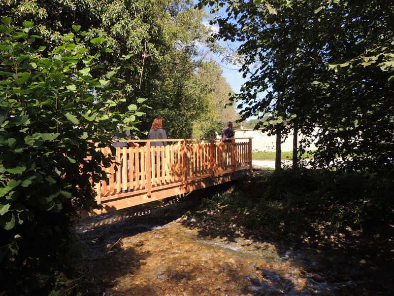
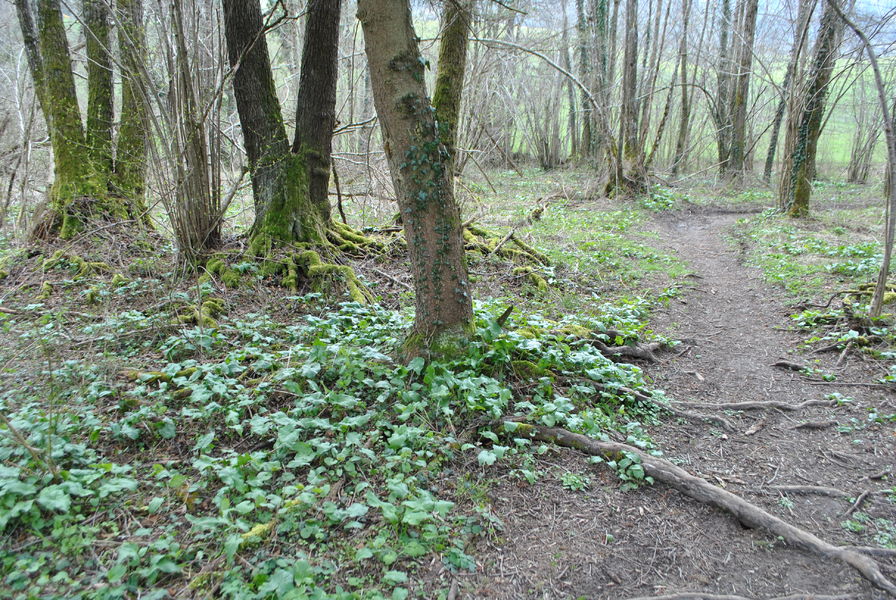
N°52 : Boucle du Baracuchet
Add to my favorites

Caution! Zone of vigilance near the route
Faucon pèlerin - du 01/02/2024 au 30/06/2024 In progress
Parcours sans difficultés techniques mais avec un kilométrage et un dénivelé s'adressant aux trailers avertis.
The characteristics of the route.

Saint-Geoire-en-Valdaine (38)
- Distance 22.5 km
- Elevation gain 770 m
- Elevation lost 770 m
- Min. elevation 393 m
- Max. elevation. 854 m
- Marking Yes
Admission fee : Free access.Opening : All year round.
Area : Pays Voironnais
Report a problem Add a comment
Website Parcours trail n°52 : Boucle du Baracuchet - Roadbook Pdf file Features of the application :
- Location and orientation on detailed maps thanks to the GPS of your smartphone
- Description of routes and points of interest on the route
- Photo gallery by route
- Detailed elevation profile
- Route tracking alert to warn you if you stray from the route
- Send predefined messages by SMS to your contacts
- Emergency module: trigger a call or send an emergency SMS in case of problem
- Agenda: access to events organized in the department
- News: find in the application the latest news on the web portal
- Adding achievements
- Add reports in case of problems encountered on the routes
- Share on social networks
Add your time and share your feelings
Services nearby

Pégoud Museum
Montferrat

Espace Naturel Sensible des Marais de la Véronnière et du Courbon
Villages du lac de Paladru
Lake Paladru Archeological Museum
Villages du lac de Paladru
Espace Naturel Sensible des Tourbières de l'Herretang
Saint-Laurent-du-Pont
Local Resistance and Deportation Museum
Le Pont-de-Beauvoisin


Information updated on 2023-07-10 by Office de Tourisme du Pays Voironnais


Follow us on
the digital trails
the digital trails


![]()
The Isère Outdoor application was created
by the Département de l'Isère
Infos & contact
Conseil départemental de l'Isère
7 rue Fantin Latour
CS 41096
38 022 Grenoble cedex 1
Tel. 04 76 00 38 38


OK
Annuler