Route 1 green - Circuit trail des Brigands
Add to my favorites

Caution: Due to the storms that happened in November, some tracks may be impracticable or closed. Before going out, please contact the local authorities to have more information.
Warning

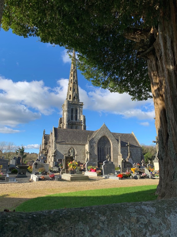
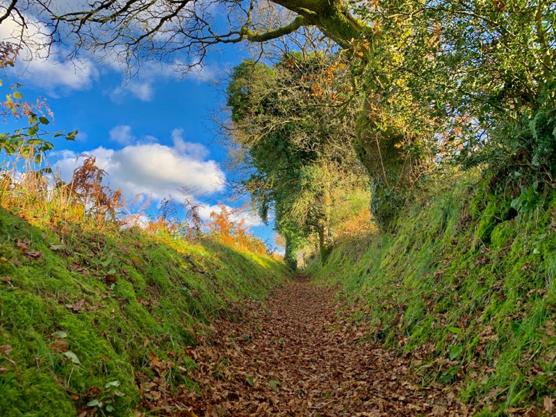
In the heart of the Brittany countryside, between sunken paths, granite chaos and pastures, you will discover a very varied route, offering different kinds of paths and landscapes. The itinerary does not present any technical difficulties and will be suitable for beginners as well as experienced trail-runners looking for a loop to work on speed and changes of rythms. A beautiful discovery in the heart of unsuspected Brittany...
The characteristics of the route.

Bulat-Pestivien (22)
- Distance 10.5 km
- Elevation gain 180 m
- Elevation lost 180 m
- Min. elevation 225 m
- Max. elevation. 292 m
- Duration (depending on pace) 0h50 à 1h45
- Marking Trail-running signs n°1 green

Find all the routes in your smartphone
Available this summer, the application Coeur de Bretagne will allow you to find all the trail running and hiking trails on your smartphone.
You will find many features in this application:
- locate yourself the route
- download data for offline access
- take advantage of detailed IGN maps
- add your chrono on the route
- find the services nearby...

Add your time and share your feelings
Services nearby

Office de tourisme de Guingamp - Baie de Paimpol - Accueil Callac
Callac

Gite Colet Even Bras
Colet even Bras 22480 Peumerit-Quintin
Gîte de Loc Envel
Loc Envel
Moulin de Ponchou-Léguer
Belle-Isle-en-Terre
Office de tourisme de Guingamp - Baie de Paimpol - Accueil Belle-Isle-en-Terre
Belle-Isle-en-Terre


Follow us on
the digital trails
the digital trails


![]()
Infos & contact
Destination Coeur de Bretagne - Kalon Breizh
6 rue Joseph Pennec
22110 Rostrenen
Tel. +33(0)2 96 29 26 53


OK
Annuler