Circuit 19 red - Ridges of Mont Chéry
Add to my favorites

Be careful, you are on your own
Route closed
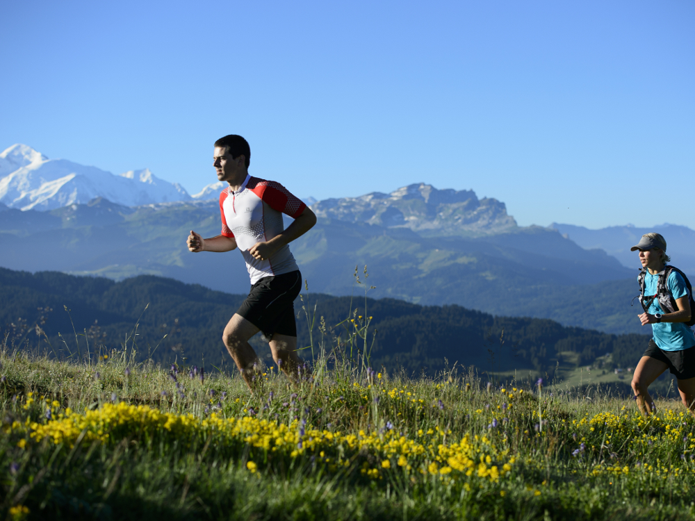
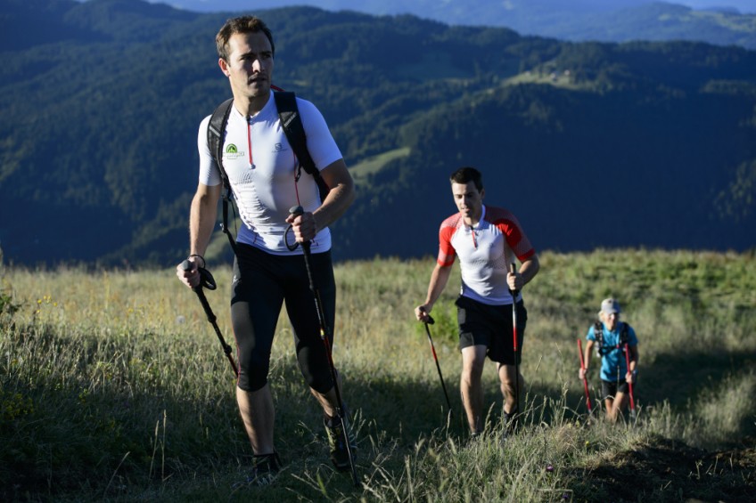
This route is intense from both a sports perspective and for its incredible 360° panoramic views. Perfect for testing your physical capabilities and endurance. It is highly recommended that you have a good level of ability for this route.
The characteristics of the route.
Les Gets (74)
- Distance 14.7 km
- Elevation gain 820 m
- Elevation lost 830 m
- Min. elevation 1346 m
- Max. elevation. 1815 m
- Duration (depending on pace) 2h50
- Marking yes
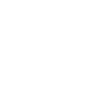
As you exit the Mont Chery gondola lift, go right and follow the wide path until you reach the place known as "Plan Bôdit". the main difficulty is encountered as you begin the climb to the ridges on your left. The path is very steep and challenging and will require you to adapt your speed to suit the terrain. As you advance, the panorama is gradually revealed before offering you the peak of Mont Chery. After this point, as you walk along the ridges you will enjoy uninterrupted views of the Mont Blanc mountain range. When you arrive at the Col de Lachat, cross over to the north-facing side (on your right). A fairly technical descent in the forest brings you to a more rolling path which then takes you to the Mont Caly mountain pasture. Once you have crossed this peaceful hamlet, you will begin a long descent to the place known as "Le Bouchet". The final part is a steep climb (but a good path)which brings you back to the top of the gondola lift.
Area : Vallée d'Aulps
Report a problem 1 comment
PDF map Tof5674
finished in 01:28:00
The 2017/08/12
En savoir plus
Ajouter votre chrono et partager vos sensations
2017/08/12 01:28:00
Tof5674
Tof5674
Manque de balisage, j'ai loupé la bifurcation au col de lachat et aussi vers les massous du coup parcours de moins de 12km si non dans l'ensemble bien, un peu boueux par endroits mais vu la météo de ce début août c'est normal.
PS : Garder des forces pour le final.


Follow us on
the digital trails
the digital trails


![]()
Info & contacts
Portes du Soleil Association
1401, route de Vonnes
74390 Châtel FRANCE
+33(0)4.50.73.32.54
info@portesdusoleil.com


OK
Annuler